
Demographics
Westmoreland County is located in northeastern United States, within a 500-mile radius of 70 percent of the country's total population. Founded in 1773, it is the second-largest county in southwestern Pennsylvania. The county encompasses more than 1,000 square miles of varied topography and is home to a population of 354,663.
This vibrant county enjoys natural beauty, a great historical legacy, a thriving economy and pleasant communities. In many ways, Westmoreland County is located in a Goldilocks zone that many say has the "just right" blend of convenient access to urban amenities and outdoor recreation opportunities in the scenic Laurel Highlands. Just to the west of the county is Pittsburgh, once named "America's Most Livable City" and the center of the 10-county southwestern Pennsylvania region. A symbol of renewal, this one-time industrial region now enjoys a balanced, innovation-driven economy.
The area of Westmoreland County is 1,036 total square miles
- 1,025 square miles is land
- 11 square miles is water
County Profile
Census Data
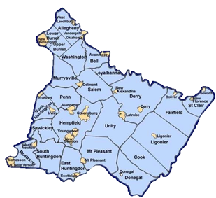
Ranked by population, Westmoreland County is classified as a third class county with 65 municipalities composed of six cities, 35 boroughs, three first-class townships, 18 second-class townships, and three home rule municipalities.
Due to a delay in census reporting, most data from the 2020 Census is not yet available; however, we do know that in 2020 our population was 354,663.
The following data is from the 2010 Census: Westmoreland County had the 12th highest new housing starts in the Commonwealth of Pennsylvania in 2010. The median age of Westmoreland County residents is 43.6.
- Total Residents 18 and over – 140,421
- Housing Units in Westmoreland County – 168,199
Demographic Profile Data
Profile of General Population and Housing Characteristics.